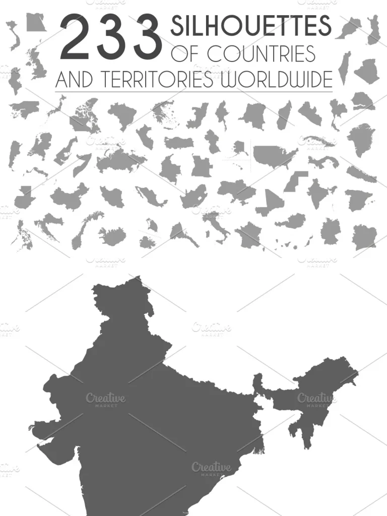
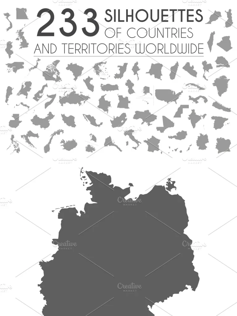
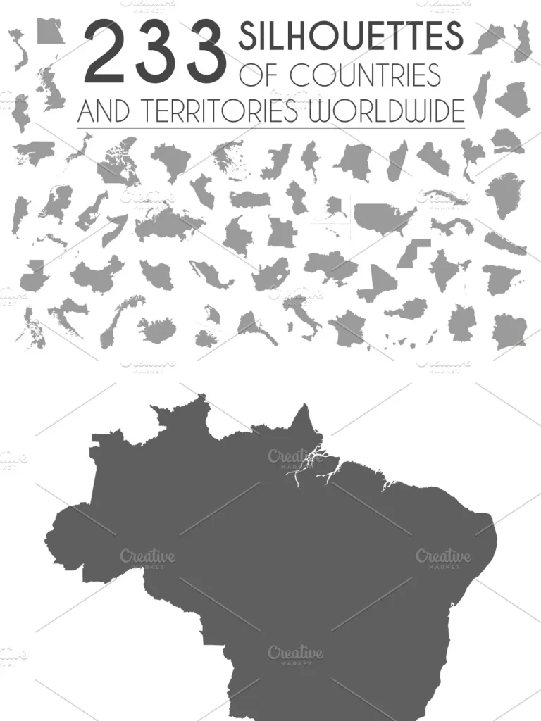
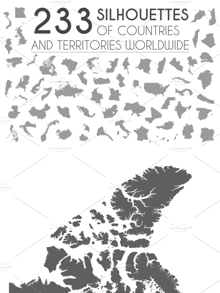
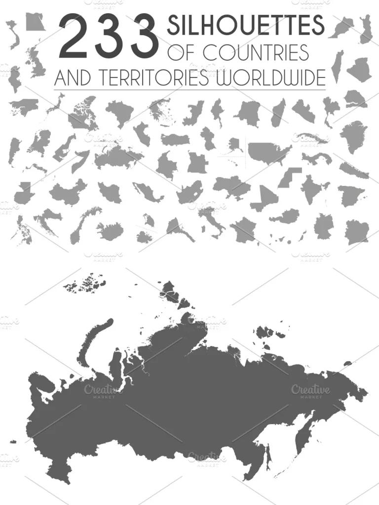
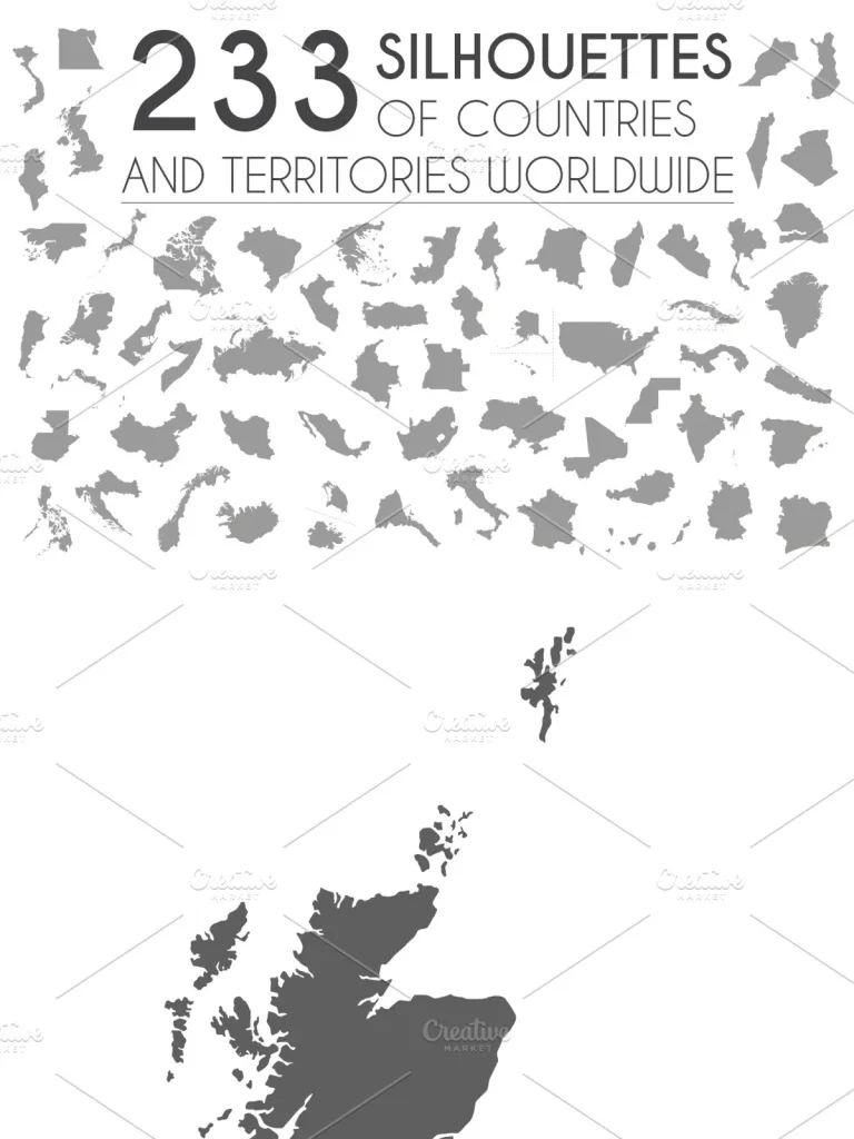
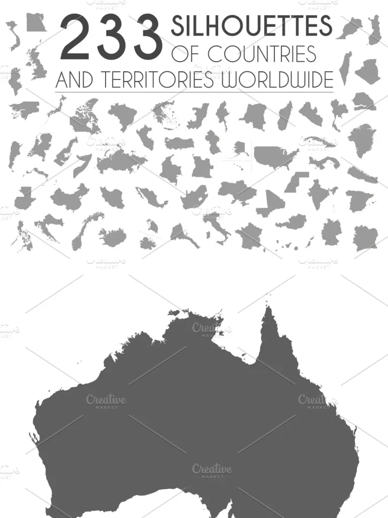
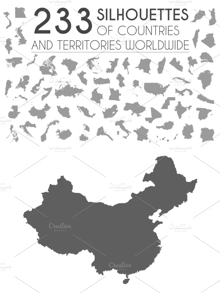
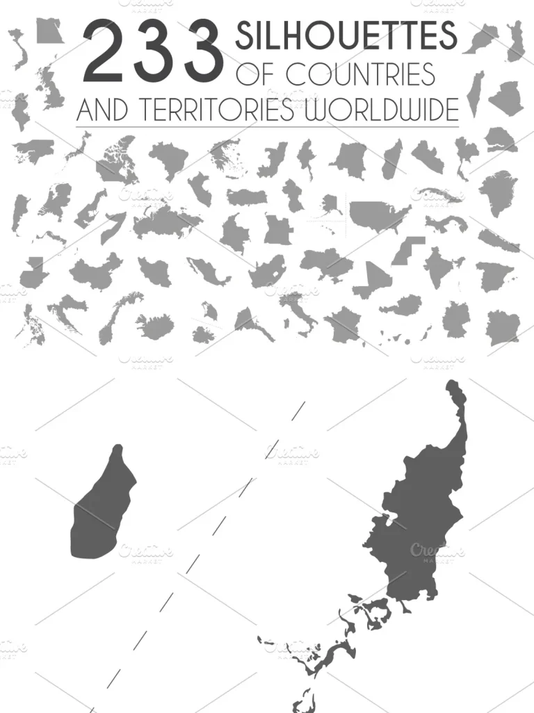
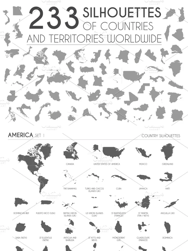
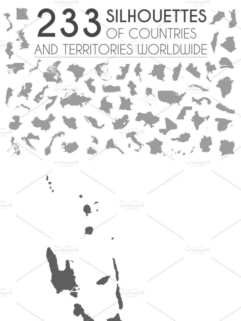
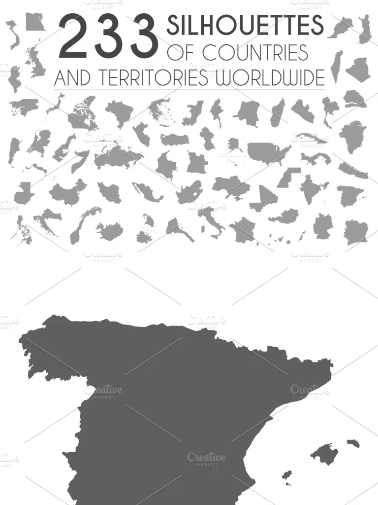
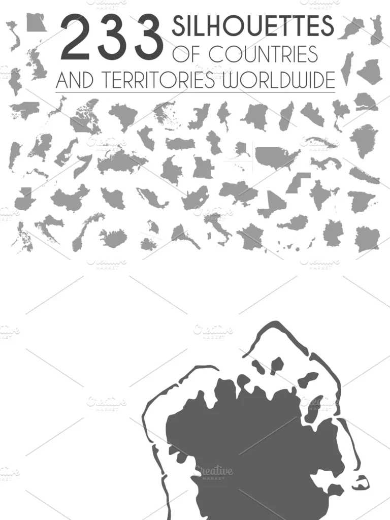
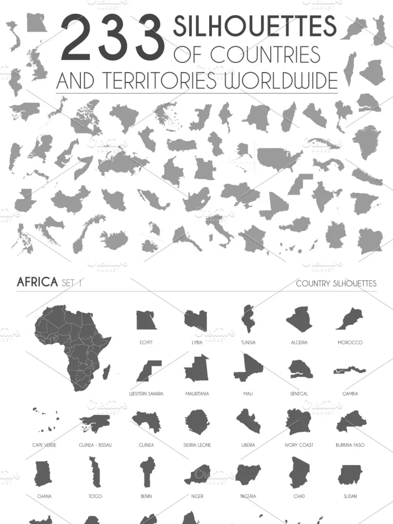
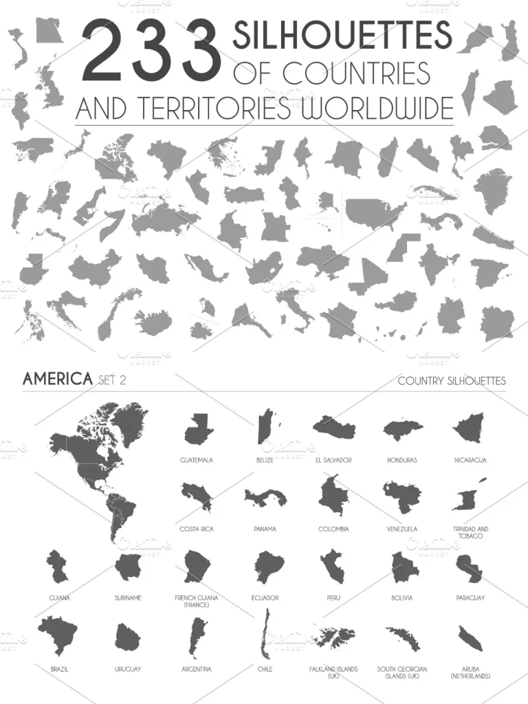
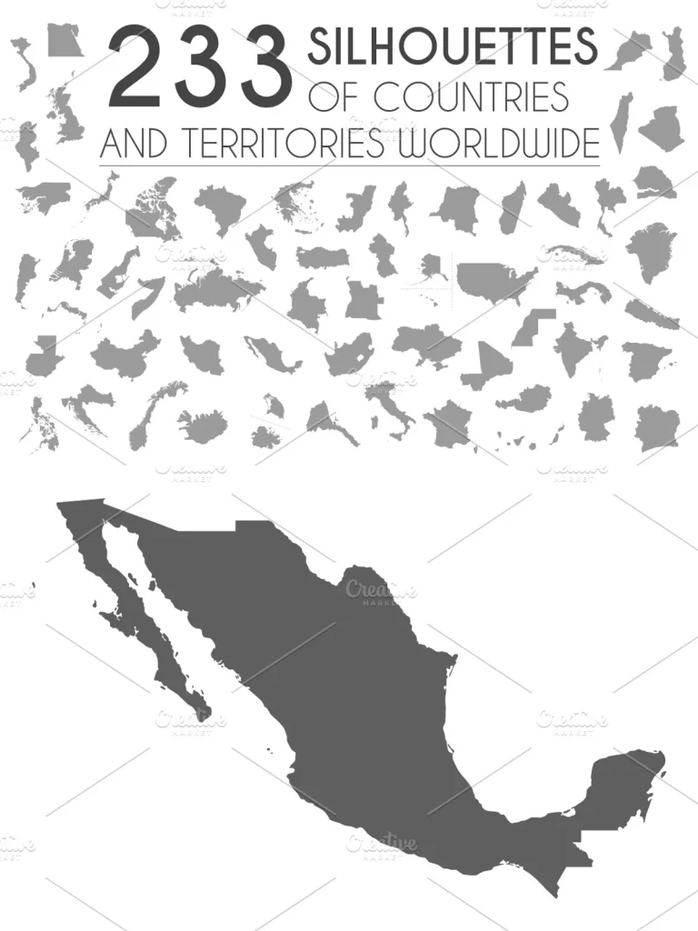
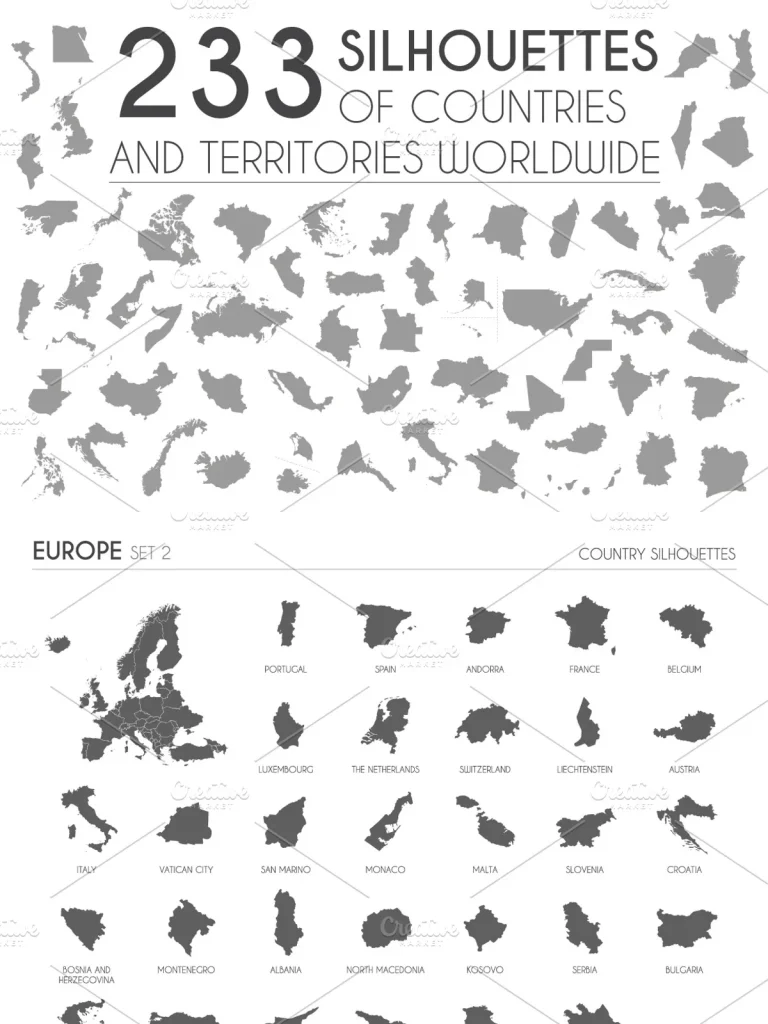
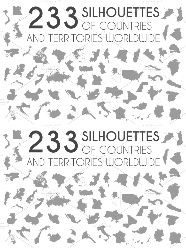
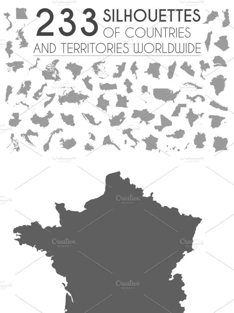
Set of 233 silhouettes of countries and territories worldwide, provided in EPS, AI, JPG and PNG files. In the preview images, you can see all the countries and territories included. They come arranged by continent in 9 different sets. You can also see them in the preview images
In these sets you will also find a vector map of Africa, Asia, America, Europe and Oceania with national borders. Very useful for complete your needs.
These 233 silhouettes and the 5 continental maps are perfect for presentations, infographics or any kind of mockup, and even for decorating any space or educational purposes.
Very easy to work and infinitely scalable, because it’s all in vector shapes.
The pack comes with 9 EPS 10 compatible and editable files and 9 AI10 files, which you can edit and use for any purpose. All the elements are vectors and they are separated in groups and layers for easy editing in Illustrator, Inkscape (free vector program) or similar software.
This set includes:
9 AI10 (one for each set, as you can see in the preview images)
9 EPS10 (one for each set, as you can see in the preview images)
233 JPG HI Res (4000 x 4000, 6000 x 4000 or 4000 x 6000, depending on the need of each silhouette) (one for each silhouette)
233 PNG HI Res with transparent background (4000 x 4000, 6000 x 4000 or 4000 x 6000, depending on the need of each silhouette) (one for each silhouette) (one for each silhouette)
If you want more info about this maps or you need help with them, please don´t hesitate to contact me. I hope you enjoy this article!!
P.S. Please note: fonts are not included. Fonts are not editable.
You can find a complete collection of maps of different styles and regions in my shop, just following this link: https://creativemarket.com/asantosg/collections/1013911/Maps?page=1